The Canadian cottage market is, by many measures, the most emotionally charged segment of the domestic real estate market. Buyers spend months researching lakes, comparing townships, arguing about boat access and water quality. They drive hours to look at properties. They make some of the largest discretionary purchases of their lives based on an attachment to a place that is often hard to articulate in data terms.
And yet waterfront listings are, on average, the least data-rich property pages in the Canadian market. The standard listing shows photos, a price, a bedroom count, and a description that says something like "stunning lake views" and "crystal clear water." The information that buyers are actually researching — the size of the lake, the depth profile, the fishing access, the Crown land boundaries, the wildlife management zone — none of it appears on the listing page.
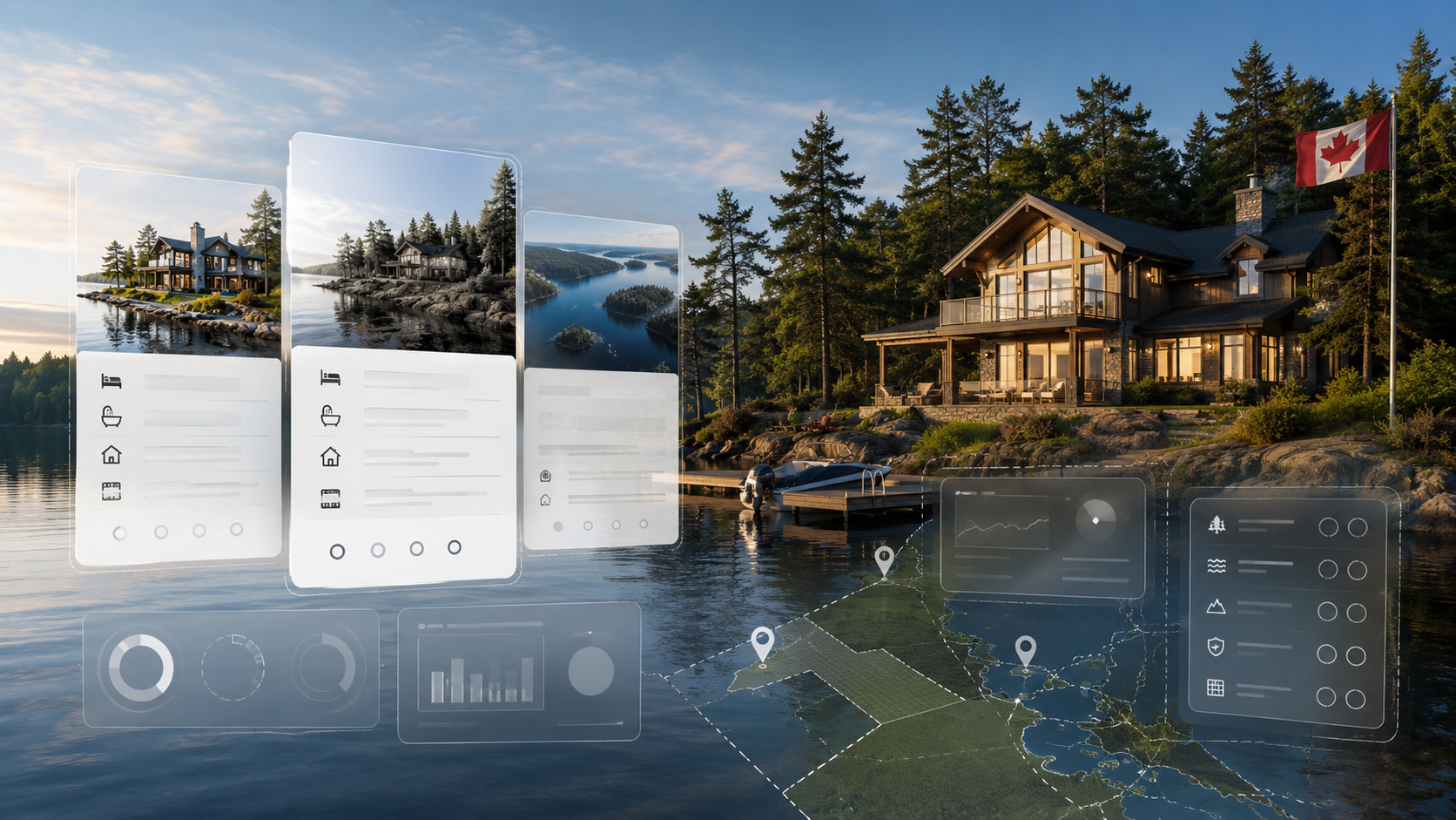
What Cottage Buyers Actually Research
Talk to any waterfront buyer and you'll hear the same list of questions. Is it a motorized lake or non-motorized? How big is it — can I actually boat on it, or is it really a pond? What's the maximum depth — does it support the fish species I care about? Are there public boat launches, or do I need private access? What's the Crown land situation — can I hike, or is it all private? What wildlife management zone am I in — what does that mean for hunting season?
These are research questions that currently require buyers to piece together information from multiple provincial ministry websites, Google Maps, fishing forums, and local knowledge. A listing platform that answers even half of these questions directly is doing something no Canadian listing platform currently does well.
What Environmental Data Makes Possible
Neighbourly's Environmental Data API is built specifically to answer these questions for waterfront and rural properties. Query by coordinate and you get back:
- Lake boundary: A GeoJSON polygon of the lake at three levels of detail, with name, surface area in hectares, and the Canadian province. Three LODs mean you can render the lake on a map at any zoom level without performance problems.
- Aquatic resource profile: Thermal regime (dimictic, polymictic), fish species present, mean and maximum depth, surface area. This is the information that tells you whether the lake supports walleye and northern pike or just bass and perch.
- Fish stocking records: Historical stocking events — species, count, size class, date, hatchery — for lakes managed under provincial fish stocking programs.
- Fishing access points: Boat launches, shore access points, and docks, with operator information and amenity details.
- Wildlife Management Unit: The WMU polygon and code, which governs hunting seasons, bag limits, and species regulations for the area.
- Crown land: Designation, classification, and managing agency for Crown land parcels in the area — the data that tells buyers where they can legally access public land on foot.
- Trails and campgrounds: Named trails with distance and surface type, and public campgrounds with host and site count.
The Listing Page That Sells Cottage Country
Consider what a waterfront listing page looks like with this data attached. Instead of "stunning lake views," the listing shows: Kawartha Lake · 3,240 ha · dimictic · walleye, smallmouth bass, northern pike · max depth 42m · 3 fish stocking events in the last 5 years · 2 fishing access points within 2km · WMU 57A · 4,200 ha Crown land within 5km. Nearby trails and campgrounds listed.
That's the listing page that a serious waterfront buyer bookmarks and shares with their family. It answers the research questions before the buyer even has to ask. And it positions the platform as the authoritative source for cottage country data — not just a listing aggregator.
Insurance and Risk Applications
Beyond listings, environmental data has significant value in the property insurance market. Proximity to water, lake depth profiles, floodplain-adjacent WMU classification, and Crown land adjacency are all inputs to cottage property underwriting models. Insurers who can query this data at scale — rather than relying on manual research or applicant self-disclosure — have a meaningful underwriting advantage for rural and waterfront portfolios.